
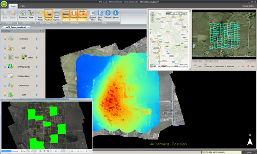
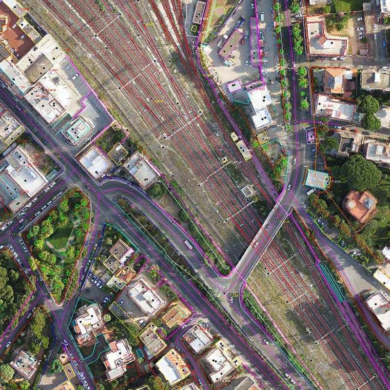
Il software di fotogrammetria più preciso ed evoluto presente nel mercato.
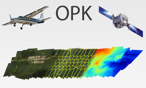
Seleziona il metodo di acquisizione delle immagini:

Menci Software
presente da oltre 20 anni.
Menci è un'azienda ad alta tecnologia, con decenni di esperienza nel settore della fotogrammetria digitale e dalla computer vision. Produce e fornisce numerosi strumenti software/hardware cartografici, ottimizzati in base al caso applicativo e alle esperienze raccolte.
Ing. Luca Menci - President & Head of engineering

Pronto a processare le tue immagini?
Le nostre soluzioni software di fotogrammetria sono le più evolute tra quelle presenti nel mercato.
Richiedi una consulenza Scopri chi siamo")