Professional DEM editor tool set
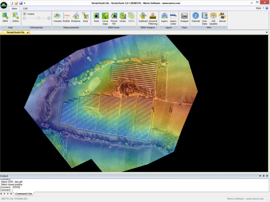
TerrainTools is dedicated to analyzing and editing 3D ground models.
With TerrainTools, you can calculate volumes and profiles, subtract DEMs, and extract DTM from surface models.
It includes a toolset for model editing, such as holes, flood fill, and patch interpolation fix. A
CAD environment with all the basic features is also integrated into the workspace.
TerrainTools is ready to import data produced by both APS and third party software.
It supports Windows Seven / 8 operating system.
TerrainTools is part of APS suite, the set of software dedicated to process drone dataset and get cartographic data such as DSM, DTM, 3D point cloud, contour lines and orthomosaics.
Main Featrures
- Crere DEM from LAS or ASCII file Tool
- Terrain Analysis Tool
- Terrain Analysis and NDVI map management
- When importing orthofoto or DEM, pyramidal level can be generated
- Ground Filtering in a selected area
- Rasterize entities to DEM tool
- Set entity elevation from DEM tool
- DEM Merge and Split tools
- Setup Tiles tool miss some tiles
- Compare surfaces tool
- Contours line generation
- Create DEM from TIM tool
- Resize DEM toolImportazione di DEM gtif/tif
- Importazione di ortofoto Gtif
- Visualizzazione sovrapposta di DEM e ortofoto
- Calcolo del volume (rispetto a piani interpolati o quote di riferimento)
- Analisi dei profili
- Undo/Redo di operazioni intelligente
- Estrazione del ground in base a scenario predefinito
- Sottrazione di DEM
- Editing di DEM (buco, riparazione, riempimento)
- Misurazione di distanze ed aree 2D
- Gestione dei dati per layer
- Integrazione con ambiente CAD
- Esportazione e importazione di dati


")